
Pflugerville Neighbors by the Block
Pflugerville neighbors can be researched in layers. The city address service establishes an address point and city or ETJ context. The correct county appraisal district connects a parcel to its owner of record, mailing address, legal description, and account information. A clerk index supplies a dated transfer trail, while a plat can settle whether lots actually touch. Community and voter sources have narrower roles: association records identify a public civic route, and the state voter tool verifies an individual match rather than offering a street browser.
| Source | What It Shows About a Block | Access |
|---|---|---|
| City Addresses GIS | Address points in Pflugerville and its ETJ, plus address-query context | Public ArcGIS service; informational and limited to 30 records per query |
| Travis CAD or Williamson CAD | County-specific parcel owner, situs and mailing fields, legal description, and account | Free county property search |
| Travis or Williamson deed index | Grantor, grantee, date, instrument, and legal parcel trail | Online routes, clerk counter, archive, or microfilm depending on age |
| Subdivision plat | Lot order, frontage, roads, common areas, and legal adjacency | County clerk, official-record image, CAD, or archive route |
| Texas TEAM voter lookup | Named registration match, county, precinct, and status where the page permits | Individual official lookup, not street browse |
| HOA management certificates | Association and management-certificate information for a subdivision | State registry filters; no member list |
These sources answer different questions. A CAD card may identify an owner and a mailing address, but it does not prove who currently occupies the site. A deed shows a recorded transaction, not every relationship in a household. For Pflugerville neighbors, keep the record type and date beside every finding.
Pflugerville Neighbor County Lines
Pflugerville is incorporated across Travis and Williamson Counties. The city address service covers city and ETJ addresses, but it is an addressing reference, not a survey or a legal parcel boundary. Start with the address point and city-limits context, then determine which county holds the parcel. Travis CAD accepts owner name, property address, account number, and DBA searches. Williamson CAD uses a start box for name, address or property identifier and lets the searcher choose owner, address or account, or property-ID mode.
The county assignment controls the next record route. A Travis parcel goes to Travis CAD and the Travis County Clerk's name-based deed index. A Williamson parcel goes to WCAD and Williamson official records. A Pflugerville mailing address alone can appear on a property outside the municipal boundary, and a ZIP label does not resolve that question. Keep both situs, the taxable parcel location, and mailing address, the correspondence destination, because they serve different purposes.
Williamson County lookups and searches gathers county routes for address, tax, judicial, and voter information relevant to the Williamson side of Pflugerville.
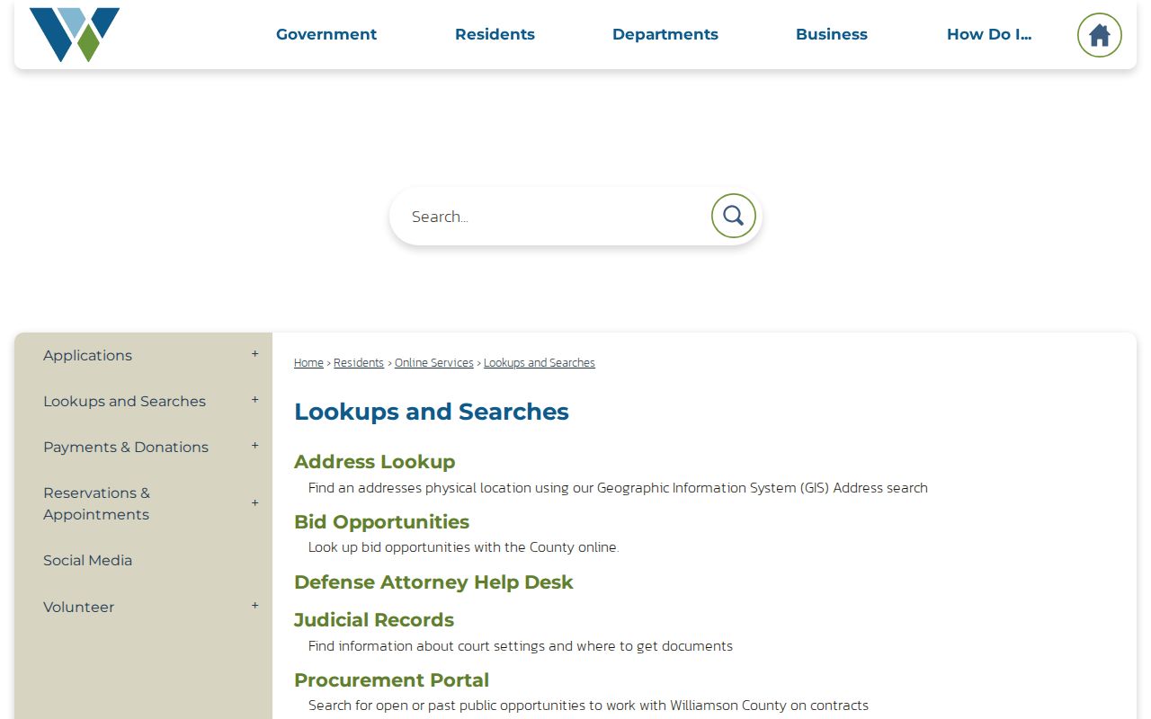
Use the county hub only after resolving the parcel's county. It does not turn a city label into proof of jurisdiction or occupancy.
Mapping Pflugerville Neighboring Parcels
The block method follows the land first. Center the target in the city or county map at a scale where lot edges are visible. Where the city REST service exposes addresses rather than legal parcel polygons, use the CAD map link and county GIS parcel layer for the boundary itself. The city service permits standard address queries and JSON or GeoJSON output, but it does not document a buffer tool. County interfaces may provide identify, measure, select, or buffer tools, so verify the current map before relying on one.
- Locate the target address in the city address service or county GIS and note whether the parcel is in Travis or Williamson County.
- Center the map on the parcel boundary, then click each lot that shares a boundary or is clearly contiguous.
- Open the matching CAD card and capture the account, situs and mailing fields, owner of record, legal description, subdivision, block, and lot.
- Use the county deed index to compare the recorded transfer date and legal description for the target and adjacent parcels.
- Open the subdivision plat when a common area, drainage tract, alley, or right-of-way makes a visual map uncertain.
In short: address point to map center, map center to parcel boundary, parcel boundary to CAD card, CAD card to deed index, then plat confirmation where the edge is unclear. For a full named-street record chain beyond the immediate Pflugerville neighbors around one address, use the Pflugerville street directory.
Pflugerville Plats Define Adjacency
Shared ZIP codes and nearby mailing labels are weak ways to define a block. Legal adjacency is stronger: a shared boundary or a clearly contiguous lot, tested against the subdivision plat and legal description. A plat lays out lots, blocks, streets, dedications, and sometimes common areas. It can explain why two homes that appear side by side on a basemap do not share a private lot line.
On a modern subdivision card, WCAD may show a legal description, subdivision or phase, block, lot, map number, account, property type, values, exemptions, and both mailing and situs fields. Those categories make a useful field inventory, but no single field identifies every person connected with a parcel. An exemption flag can be an owner-occupancy clue, not a conclusion; it may be old, shared, or paired with a different mailing address.
Note: Use a recorded plat or legal description to resolve a disputed edge, not a simplified map display or postal geography.
Pflugerville HOA Management Contacts
City Planning and Development Services links 911 addressing, zoning, ETJ, development activity, neighborhood resources, and HOA-management information. The Texas HOA management-certificate search can be filtered by association name, county, city, ZIP, and association type. A certificate can identify an association or management route, but it is not a directory of members or a permission slip to contact residents. Use the public management or association channel for a legitimate civic or local-history question.
| Pflugerville-area association | Public contact route | What the route does not provide |
|---|---|---|
| Estates of Heatherwilde HOA | Texas HOA management-certificate search, filtered by Pflugerville or county | Household or member roster |
| Windermere HOA | Texas HOA management-certificate search and official association contact when available | Proof of current residence |
| Cielo East City Homes COA | State certificate route by association name | Private unit-owner contact list |
| Property Owners Association for Spring Trails | State certificate route and city neighborhood resources | Complete neighborhood directory |
| Pflugerville Cambridge Estates HOA | State certificate route by city, county, or association name | Private communications or voting records |
| Enclave at Sarah's Creek COA | State certificate route and public management information where listed | Member names beyond public filings |
Pflugerville Planning and Development Services is the appropriate city starting point for neighborhood, addressing, zoning, and HOA-management links.

Names in the state registry include association entries, not a verified citywide civic directory. Public member rosters and complete public contacts for every Pflugerville neighborhood were not located.
Pflugerville Voter Records at Block Level
The Texas TEAM voter lookup is an individual match tool. Its documented paths use name plus county, VUID plus date of birth, or Texas driver-license or ID number plus date of birth. It can show permitted registration status, county, precinct, district, or ballot information for a successful match. It cannot browse a street, reveal ballot choices, or establish every occupant at an address.
For a permitted voter-list request, choose the county first and use the official request channel. Williamson routes requests through the County Attorney's Public Information contact and posts certain election rosters on its stated schedule. Travis routes voter registration through county tax and elections pages, with the state lookup as an official fallback. Texas law protects Social Security numbers and Texas driver-license or ID numbers, and eligible voters can have residence information withheld or replaced with an alternate address.
A non-match can result from a name variation, county selection, recent move, data issue, or status change. It is not proof that someone has never registered. Texas does not register voters by party, and participation history never reveals how a person voted.
Pflugerville Neighbor Tool Comparison
Official sources and commercial neighbor tools do not serve the same purpose. Commercial products may combine property, marketing, court, and address data, then attach a neighbor label that lags a transfer or joins the wrong household. Official records can also be limited, but they identify the custodian, record type, and date. For a Pflugerville block question, use official parcel, deed, plat, and association sources before treating a label as meaningful.
| Official record route | Commercial neighbor category | Practical reading |
|---|---|---|
| GIS, CAD, clerk index, and recorded plat | Compiled address and property associations | Use the official route to test parcel identity and legal adjacency |
| Dated deed and legal description | Current-looking household label | A recorded owner may differ from a current occupant, and a label can be stale |
| Public association management route | Claimed neighborhood contact information | Confirm through the association or registry, not a copied profile |
Historical address work has another route. Criss-cross directories are held through library and archive channels and can connect an old address to a listed occupant, but regional Austin coverage must be checked before treating it as a Pflugerville block record.
Pflugerville Neighbor Permit Fallback
Pflugerville Planning links permits, development activity, zoning, 911 addressing, ETJ information, and neighborhood resources. The public permit portal was found, but its search fields and historical coverage were not verified during research. When it does not provide a needed public address record, request a date-bounded permit or code file from Planning and Development Services through the City Secretary's Texas Public Information Act route. Identify the address, date range, department, and preferred delivery format.
A permit can document an address event, project, applicant, or inspection date when the record is public. It does not establish a complete household history. Personal contact data and some inspection detail can be withheld, and city records should be requested from the proper custodian rather than inferred from a map.
Pflugerville Neighbor Lookup Privacy
Public does not mean unrestricted. A normal block workflow leaves out non-owner occupants, utility and delivery subscribers, protected voter residences, private contact details, and motor-vehicle address data. County clerks redact protected identifiers from recorded documents. Court records can also be sealed, expunged, restricted, or redacted. A parcel owner is not automatically a current occupant, and an association contact is not an invitation to solicit or publish a private roster.
Texas Safe at Home can provide an alternate address for eligible participants, including certain victims and qualifying officials. Voter confidentiality rules also shield specified fields and protected residences. If a result is withheld or uses an alternate address, treat that as a privacy protection, not an absence to work around.
Lawful use. Use Pflugerville neighbor records for civic context, local history, reconnecting, or personal safety awareness. Do not use public records to watch, harass, threaten, or intimidate another person.