
Start a Pflugerville Street Directory Search
Property records can identify an owner of record, and a dated deed can place that owner in a transfer. Neither is a complete household list. The useful order for a Pflugerville street search is address, parcel, owner, deed, then the historical or voter source that fits the question. First resolve whether the parcel is in Travis County or Williamson County. The City of Pflugerville address service covers incorporated city and ETJ locations, while the county line controls the CAD and clerk route. Keep the situs address, the mailing address, the account or Geographic ID, and the legal description together. Those details make a result easier to test when a street name appears in several subdivisions.
- Enter the address in the City address GIS or a county GIS layer and record the parcel county.
- Search the address in Travis CAD or WCAD. Save the current owner of record, situs, mailing field, account, and legal description.
- Use the owner as grantee in the county deed index to find the purchase instrument, then read its legal description and prior references.
- For a named registration question, use the Texas TEAM voter tool. It verifies an individual match and is not a street-browse list.
- For an older address, compare a criss-cross volume or rural directory with the deed, plat, census, or tax record.
That sequence keeps an address-search result tied to an actual parcel instead of a city name or ZIP label. It also exposes the point where the trail changes from a modern street address to a lot, tract, route, or road description.
Pflugerville Address Records by Street
Several public systems can contribute address evidence, but each answers a narrower question. The appraisal card is the fastest current parcel starting point. GIS provides the address and boundary context. Clerk indexes provide recorded transfers by party name, not by street. Planning files can connect an address to a project when the file is public. The table separates what can be found by street from records that require a person, parcel, or written request.
| Address record | Custodian | Street evidence | Access route |
|---|---|---|---|
| Appraisal card | Travis CAD or WCAD | Owner of record, situs and mailing fields, legal description, account, exemptions | Free county property search |
| Address and limits GIS | City of Pflugerville and county GIS | Address point, city or ETJ context, map layers | Public map or service, informational only |
| Recorded instrument | Travis or Williamson County Clerk | Grantor, grantee, instrument date, legal parcel, volume or document reference | Online index, counter, archive, or microfilm |
| Subdivision plat | County clerk, CAD, or archive | Lot order, block, roads, common areas, and dedication | Official-record image or historic route |
| Planning or permit file | City Planning and Development Services | Project, applicant or owner, date, and address when public | Portal if responsive, otherwise a narrow PIA request |
| Historical directory | TSLAC, Austin History Center, or UNT Portal | Past address-to-name clues | Regional volumes and digitized rural directories |
A voter record belongs in a separate, named-person check. Texas TEAM has no public street-browse function, and a county voter-list request has field, redaction, and use limits. The same caution applies to permit files: a public address file can show a project history without identifying everyone who received mail at the location.
Resolve Pflugerville County Lines
Pflugerville is a two-county records problem. Incorporated land sits in both Travis and Williamson Counties, and the City address service also includes the ETJ. A Pflugerville postal address therefore cannot select the correct tax, deed, court, or voter custodian by itself. Check the address point against the current City Limits GIS layer, then confirm the parcel in the relevant county CAD. The city service is an addressing reference rather than a survey or legal parcel boundary.
This geography is the key local caution in street record work. A parcel inside city limits may be recorded by the Travis County Clerk or the Williamson County Clerk. A Pflugerville mailing field can also describe a postal route for a parcel whose situs lies elsewhere. Current annexation layers help with present context, but the research did not locate a complete historic annexation-to-address bridge. For older work, record the county and the legal description rather than assuming today’s city boundary applied at the time.
Note: City, ETJ, postal, and county labels can all differ for one address, so retain each label in research notes.
Search Pflugerville Streets in CAD
For Williamson parcels, Williamson CAD Search begins with one box for a name, address, or property identifier. Its visible choices are OWNER, ADDRESS | ACCOUNT, and PROPERTY ID. For Travis parcels, Travis CAD Property Search offers owner name, property address, account number, and DBA routes, with a separate map search. Travis advises trying fewer words, omitting a street suffix, or using only the street name. Treat a street-name result as a set of parcels to narrow by house number and county.
| Portal field | Use in a Pflugerville address search |
|---|---|
| Travis Owner Name | Party lookup when the owner is already known; use fewer terms if needed. |
| Travis Property Address | Street or address search; omit suffixes for a broader street pass. |
| Travis Account Number / DBA | Use the parcel account when known, or a business trade name as a limited parcel clue. |
| WCAD Name, Address, or Property Identifier | Single entry field, followed by OWNER, ADDRESS | ACCOUNT, or PROPERTY ID mode. |
| WCAD Advanced Search | An additional route exists, though the expanded fields were not rendered in the inspected source. |
The WCAD parcel-card image is from the official WCAD search. It shows the interface used to begin a Pflugerville address inquiry.
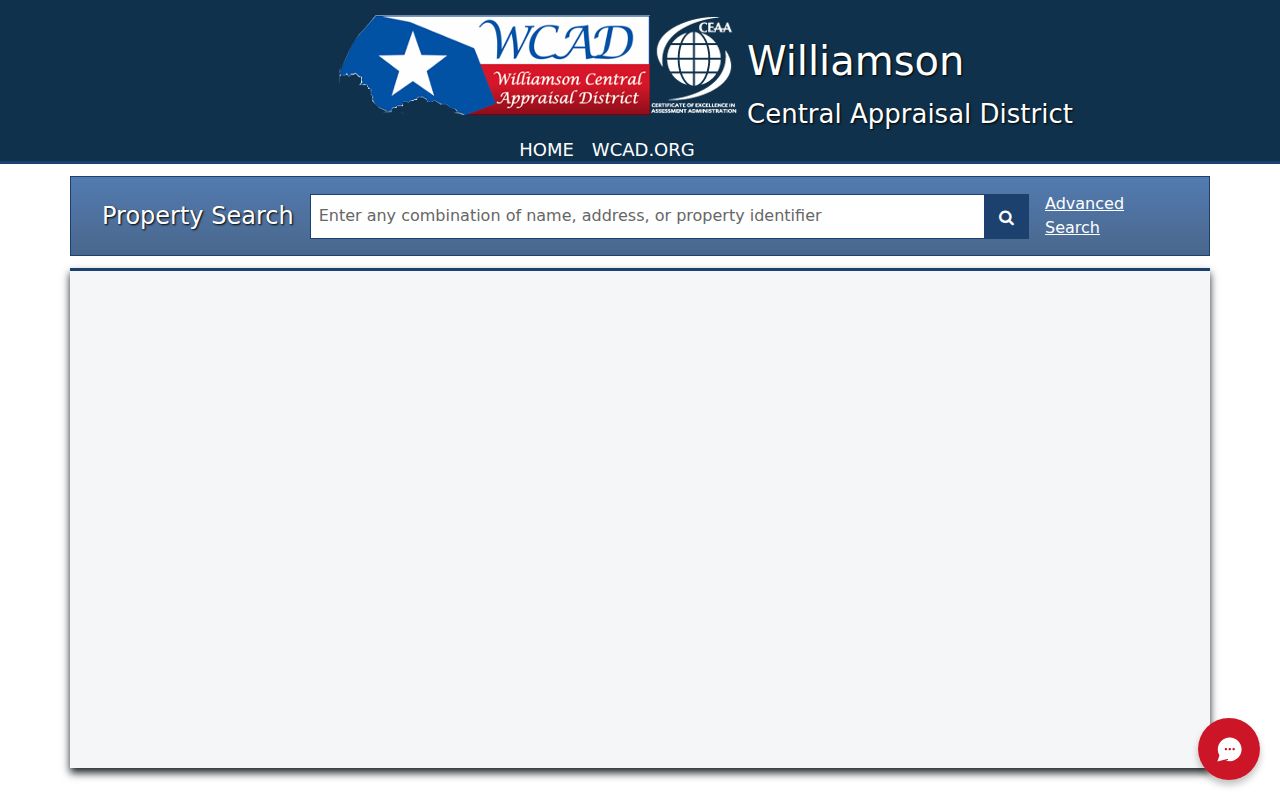
Once a card opens, preserve the owner, owner ID, situs and mailing addresses, legal subdivision, block, lot, account or Quick Reference ID, map number, exemption flags, and date checked. Values, photographs, sketches, and tax details can be present, but their availability varies. An exemption can suggest owner occupancy; it does not prove that a named person currently lives at the parcel.
Read Pflugerville GIS Address Points
The City of Pflugerville Addresses ArcGIS service supplies address features for the city and ETJ. It supports a query operation and JSON or GeoJSON output, updates from the city SDE data, and showed a 30-record maximum. Use it to place an address on the street, compare the city or ETJ context, and move to the county parcel source. Do not use the address point as a substitute for a survey, CAD boundary, or recorded plat.
The City/ETJ address service is useful for establishing why a Pflugerville street may split across municipal and county systems.
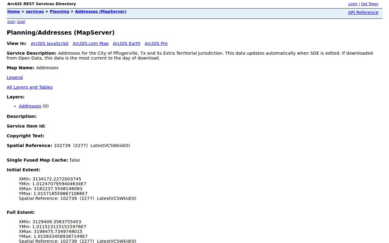
For legal adjacency or lot lines, continue to the county GIS parcel layer, CAD map link, and recorded plat. The city service’s REST page did not document a public buffer tool, and the exact set of county layers changes by viewer.
Separate Pflugerville Situs and Mailing Fields
A situs address is the taxable parcel location. A mailing address is where appraisal or tax correspondence goes. In a Pflugerville street-record search, the two fields serve different purposes and should never be collapsed into one. The mailing field may name another city, an agent, a trust, or an out-of-area address. It can identify a record contact, not a resident at the parcel. WCAD sample cards also show Pflugerville mailing addresses paired with Taylor or Coupland situs locations.
Owner names need the same care. A card can name a trust, estate, company, spouse pair, or individual. The legal description, subdivision phase, block, and lot are usually better bridge fields when moving from the property card to a deed index. A ZIP code is only mail geography and cannot settle the city-limit question.
Trace Pflugerville Parcels Through Deeds
Travis and Williamson land indexes are party-based. For a Travis parcel, use TCCSearch Real Estate to enter a grantor or grantee as LastName FirstName. Find the current owner as grantee to locate the purchase deed, read the document image, then search the seller as grantee in earlier years. The index normally reaches from the mid-1980s forward, while older deeds and microfilm extend to 1840 and Portal digitization includes deeds from 1840 to 1919 and indexes from 1842 to 1924.
For a Williamson parcel, use Williamson Official Records and the county clerk’s Search Records route. The clerk warns that records are not indexed by legal description. Use names, dates, and the deed’s subdivision, block, lot, tract, or volume and page. Williamson records begin in 1848, with deeper deed indexes and books available through county, TSLAC, and Baylor microfilm routes. The recorded instrument, not a street-only search result, confirms the parcel connection.
Check Pflugerville Planning Files
City Planning and Development Services links 911 addressing, zoning, development activity, permits, neighborhoods, and HOA-management resources. A permit or development record can add a dated address, project, or listed applicant or owner to a street record. The inspected public material did not provide verified portal fields or a full historical coverage range. When an online search does not supply the needed file, make a date-bounded, address-specific request through Pflugerville Open Records under the Texas Public Information Act.
Ask for a defined project, permit, code, or inspection category and a date range. The City Secretary is the city’s request authority. The custodian may withhold or redact inspection details and personal contact information. Utility customers and usage information are not part of the ordinary address-record trail.
Use Pflugerville Voter Matches Carefully
The Texas TEAM voter lookup is a named-person match tool. Its search paths use name plus county, VUID plus date of birth, or Texas driver-license or ID plus date of birth. Select Travis or Williamson only after confirming the address county. A successful result can show registration status, county, precinct, districts, or ballot information as permitted. It does not supply a public list of everyone along a street or reveal ballot choices.
A non-match is not proof that a person never registered. It can reflect a county choice, spelling variation, recent move, status change, or protected address. A county voter-list request is a separate transaction with lawful-use requirements and redactions. Protected voter and alternate-address programs must be respected.
Translate Older Pflugerville Road Labels
Modern CAD and GIS fields cannot always search an older rural address. The 1957 and 1958 Travis County Rural Directories use roads, routes, boxes, post offices, and telephone exchanges. Their key defines * as home owner, Bx as box, PO as post office, Rt as route, Rd as road, Hy as highway, and FR as farm road. Pflugerville appears as PFL, with the EDgewood telephone exchange. Preserve those printed labels before trying a modern street search.
Austin criss-cross holdings run from 1939 through 2002 with gaps, and post-1905 volumes can provide an address cross-reference before the alphabetical name listing. They are regional proxies, not proof that every Pflugerville household appeared in every Austin volume. For the historical shelf itself, use the Pflugerville directory book; for street-level history, determine whether an old road or number can be bridged to the parcel’s legal description.
Pflugerville Street Record Glossary
These terms make it easier to compare a property card, a plat, and a recorded instrument without turning an owner-of-record result into a claim about a household.
- Parcel
- A taxable piece of land tracked by CAD with an account or geographic identifier.
- Situs address
- The physical taxable location of the parcel, distinct from the address used for correspondence.
- Plat
- A recorded map that lays out subdivision lots, blocks, roads, easements, and dedications.
- Criss-cross directory
- The address-ordered part of a directory, used to move from a street address to a listed name.
When an old deed changes to metes-and-bounds, use the survey, tract, abstract, adjacent owner names, and deed references. A modern house number may not appear in that earlier record at all.
Pflugerville Street Directory Limits
An address record can show points, parcel ownership, transfer history, and selected historical listings. It cannot supply a household roster. Renters and unlisted household members may not appear in a public filing. Utility and delivery subscribers, protected voter addresses, and DMV address data are outside the ordinary public street workflow. An owner card should not be read as a list of people living at the situs.
Lawful personal use. Use Pflugerville address records for family history, civic questions, property research, or personal curiosity. Do not use them to stalk, harass, intimidate, or harm any person.
If a needed item is absent online, use the correct county clerk, the Travis County Archives appointment route, Williamson’s Public Records Center, or a narrow city records request. A missing online result may reflect an index cutoff, a different county, a historic route label, or a protected record.